Key events in the history of quantitative geomorphology
Building on the International Hydrological Decade of 1965-1974, the IHP is Unesco’s long-term international program for promoting water research, water management, and water education.
The Soil Conservation Service’s stream channelization program sought to straighten and deepen rivers in order to control flooding. In the early 1970s, environmentalists – with the support of some fluvial geomorphologists – criticized the program’s high cost and ecologically destructive consequences.
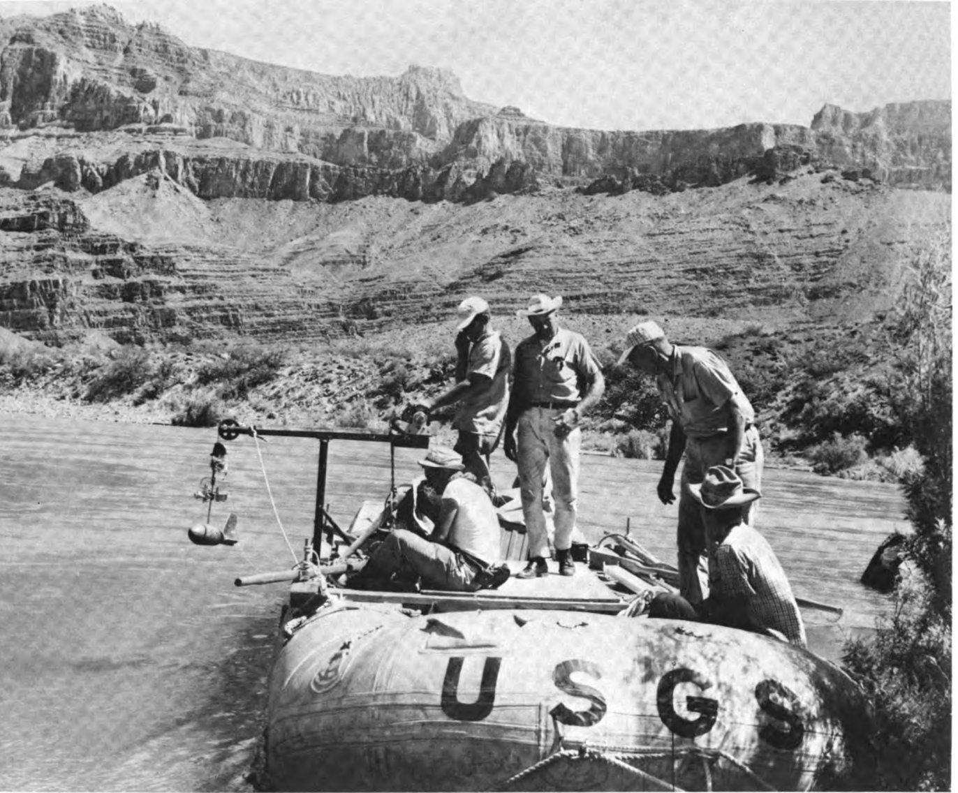
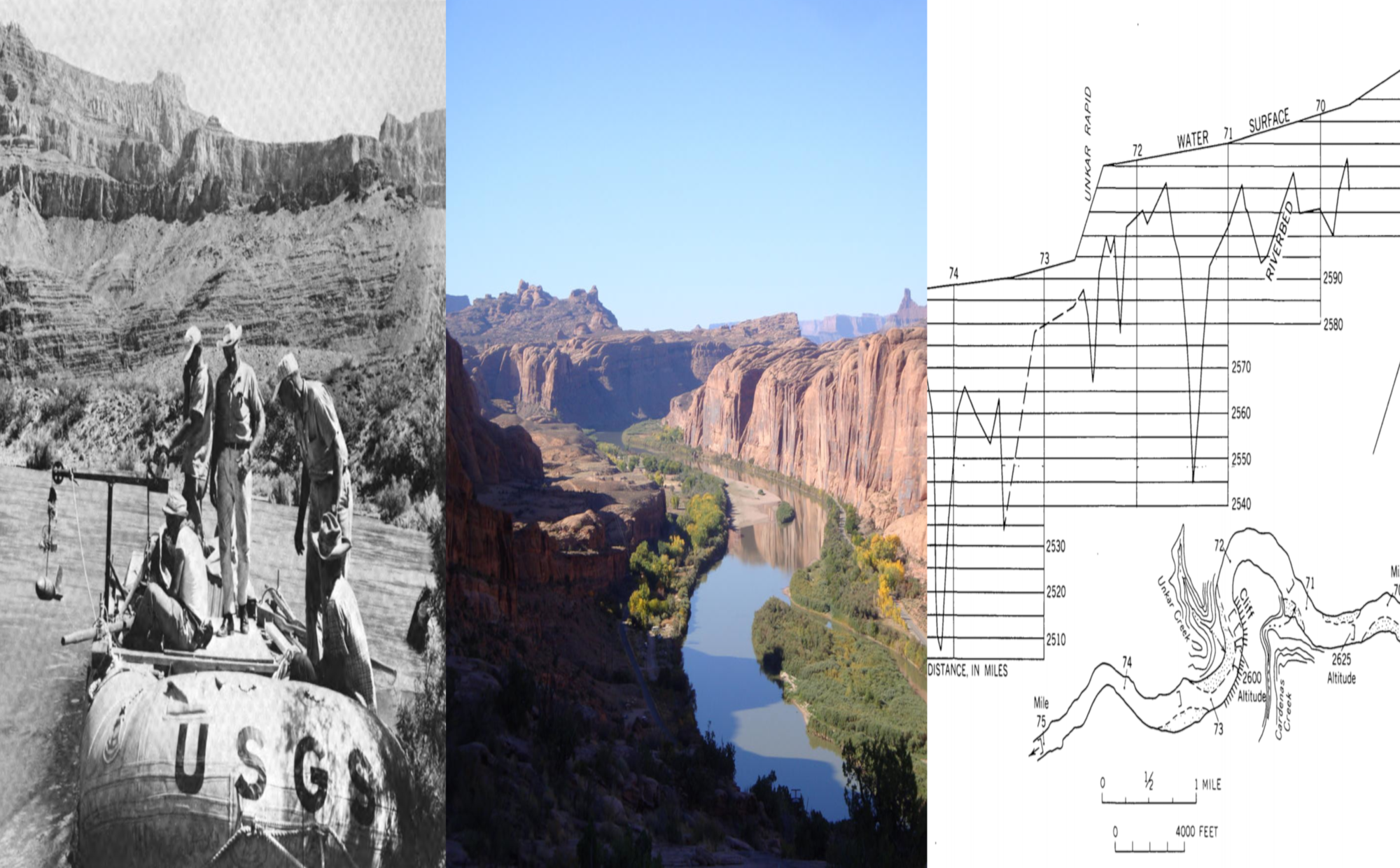
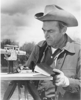
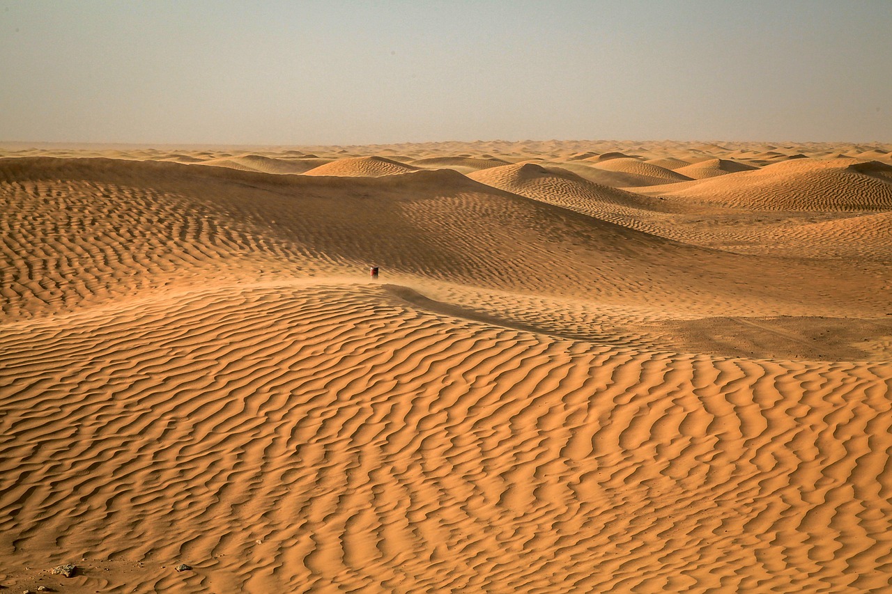
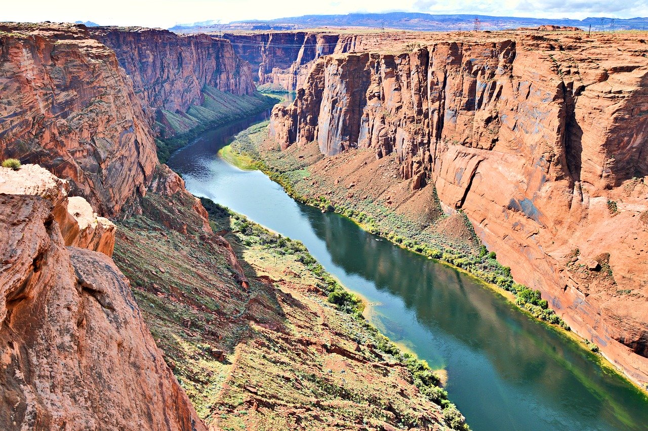
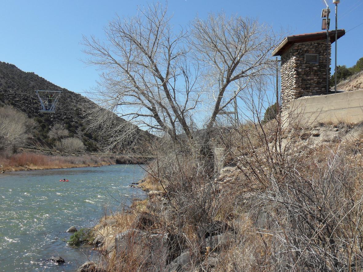
Leopold organized this USGS expedition to collect precise depth measurements over a several-hundred-mile-long stretch of the Colorado River. Until then, such measurements had been confined to isolated cross-sections, usually where a bridge or a dam had already been constructed.
The IHD was the first international scientific program aimed at studying the hydrological cycle. Its activities broadly fell under three areas: research, data collection, and inventory and water balance.
The WRRA addressed a perceived crisis of imminent water shortages by establishing Water Resources Research Institutes across the United States.
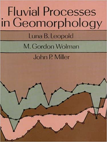
Leopold, Wolman and Miller’s textbook on quantitative geomorphology transformed the field of fluvial geomorphology with its highly quantitative, process-oriented approach. It was the standard reference for decades and remains a classic in the discipline to this day.
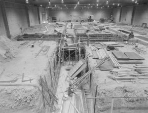
A 200-foot-long flume, informally called the “Grand Canyon” by graduate students, is constructed with USGS funding. Located in CSU’s new Engineering Research Center, it serves as the site for experiments by researchers from CSU, USGS, the Army Corps of Engineers and the U.S. Bureau of Reclamation.

The Select Committee was established in the midst of widespread concerns over a looming U.S. water crisis. Graphs and charts from Luna Leopold’s testimony were published in one of the Select Committee’s first prints, “Water Facts and Problems.”
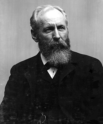
Leopold remains head of the Water Resources Division until 1966. In 1963 he successfully advocates to have the position renamed “Chief Hydrologist.”
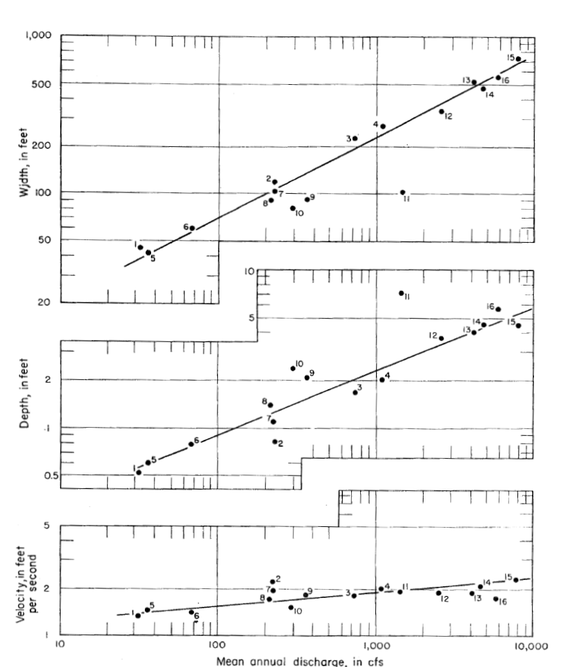
Leopold and Maddock publish a paper on “The hydraulic geometry of stream channels and some physiographic implications,” which offers a quantitative model of relationships between channel depth, width, velocity, and discharge.
Unesco’s Natural Science Division launched the program to research various aspects of arid zones: groundwater, soil, climate and energy needs to name a few. This was one of Unesco’s first forays into the scientific study of water and helped lay the foundation for the International Hydrological Decade.
The Division, which would be headed by Luna Leopold from 1957 to 1966, has separate branches for surface water, ground water and water quality.
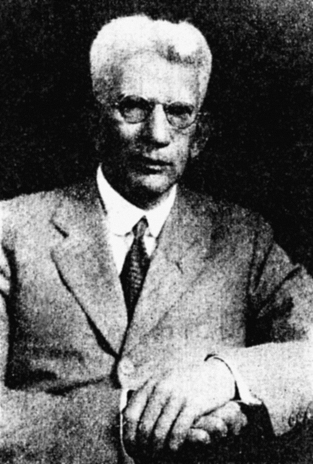
Horton’s exhortation to quantify in his paper “Erosional development of streams and their drainage basins” inspires a generation of quantitative geomorphologists.
An agreement between seven U.S. states to share water from the Colorado River, the Compact shapes water policy in the US Southwest for decades to come.
U.S. geologist Grover Karl Gilbert’s flume experiments sought to quantify laws relating to sediment transport in rivers. His quantitative methods served as an inspiration for later geomorphologists and continue to be cited today.
The USGS’s Irrigation Survey branch started streamgaging activities on the Rio Grande to determine the irrigation potential of the area, laying the foundation for the later establishment of the Water Resources Division.