In the mid-20th century, fluvial geomorphology—the scientific discipline that seeks to explain how running water reshapes the surface of the Earth—was transformed by new research techniques, new models, and new aims.
At the core of this transformation was an effort to collect new kinds of data that were precise, quantitative, and instrument-based. From the 1950s onwards, “rivers of data” began to flow, changing the way fluvial geomorphologists conducted their research and transforming our understanding of rivers and streams.
This website documents a National Science Foundation-funded project, launched by Professor Etienne Benson at the University of Pennsylvania in September 2018, to investigate the origins and significance of this important turning-point in 20th-century fluvial geomorphology.
The project aims to shed light on the historical origins of practices of data collection, management, analysis, and sharing that continue to be used by earth and environmental scientists today to study and manage erosion, flooding, water scarcity, and a wide range of other water-related problems.
This website features regular field notes with updates on the status of the project, information about key actors in the history of fluvial geomorphology, and a bibliography of key primary and secondary sources that will be useful to students and researchers interested in the topic.
PhD candidates Cameron Brinitzer and Alexis Rider, as well as undergraduate Tathagat Bhatia, are assisting with research.
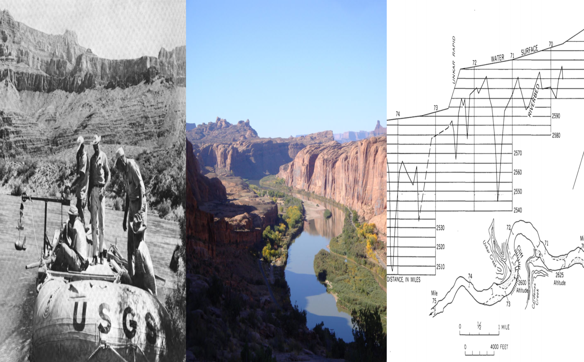
The header image depicts (left to right): US Geological Survey hydrologists with flow-measurement gear (Luna Leopold, “The Rapids and the Pools—Grand Canyon,” 134), the Colorado River near Moab, Utah (Matthew Miller, USGS), and a profile of water surface and riverbed in a segment of the Grand Canyon (Luna Leopold, “The Rapids and the Pools—Grand Canyon,” 137).